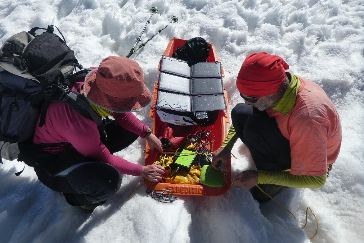
Together with Astrid Lambrecht and Christoph Mayer from the Bavarian Academy of Sciences, Fanny joined a field expedition aiming at measuring snow accumulation of Fedchenko Glacier in Tajikistan. During one month, they measured the glacier surface elevation with GPS and estimated how much snow fell last winter by digging snow pits and using a radar.
Glaciological measurements are very scarce in the Pamir mountains due to the remoteness of the glaciers and complex logistics. Fedchenko Glacier is an exception, as previous scientific expeditions went there in the course of the twentieth century and in the recent years (e.g., Aizen et al., 2009; Lambrecht et al., 2018). Linking last summer measurements with historical records remains challenging, but the new measurements will give unique opportunities to understand the long term effect of climate change in this region.


References
Aizen et al., 2009. Stable-isotope and trace element time series from Fedchenko glacier (Pamirs) snow/firn cores, Journal of Glaciology, 55, 275–291.
Lambrecht et al., 2018. Elevation change of Fedchenko Glacier, Pamir Mountains, from GNSS field measurements and TanDEM-X elevation models, with a focus on the upper glacier, Journal of Glaciology, 64, 637–648.

