There is a great demand of supporting spatial data and accurate maps to guide relief work in the areas most affected by the earthquake. We have generated some base maps that can be used in the field and may aid in assessing where to focus earthquake relief in the rural areas of Nepal.
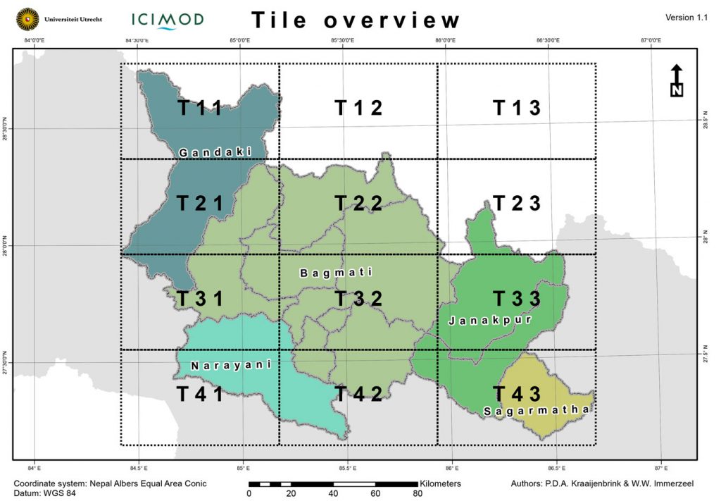
The maps are best printed on A3 paper format on which the will have a scale of approximately 1:200000. We currently provide base maps for 12 different tiles, which will cover the provinces of Ghandaki, Bagmati, Narayani, Janakpur and Sagarmatha. If required, expansion of this area is possible.
The base maps that are currently available are: SRTM elevation, USGS shakemap, pre-event imagery, population density, amount of buildings, topographic. All maps include topographic information such as villages, buildings, roads, main trails, rivers and elevation contours as well as administrative boundaries down to the scale of the Village Development Committee (VDC).
The map the layers are retained in the pdf documents. By using layer control in your pdf viewer separate layers can be toggled on or off. This way certain labels or vectors can be removed to increase the maps readability.
The separate PDF maps can be downloaded here
A zip archive (~240 MB) that holds all tiles and base maps can be downloaded here
Feel free to ask for other thematic maps if these are required via nepalquake@mountainhydrology.org

2015-05-01 11:25 – Updated to v1.3


