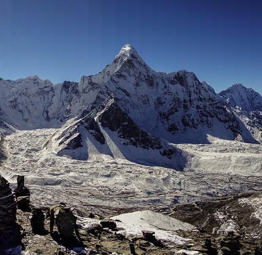
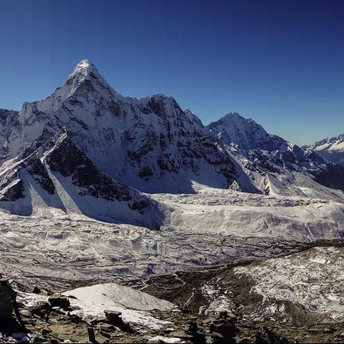
Himalayan glaciers are often covered with rock debris that affect their surface melt, which indirectly has effects on how climate change impacts on these glaciers impact future water resources. A recent study led by Philip focused on understanding these melt processes by examining surface changes in two glaciers in the Langtang Catchment in Nepal, Lirung Glacier and Langtang Glacier, from 2013 to 2018 using high-resolution drone data.
Key findings of the study include:
- Mass Balance Variability: The overall mass balance of the glaciers was less variable over multiple years compared to shorter periods, which is likely caused by local topographic factors that balance the melt rates spatially over longer periods of time.
- Ice Cliffs Impact: Areas with exposed ice cliffs showed both increased and decreased melting. The net effect of ice cliff presence is generally melt amplification. This effect also is shown to offset the mass balance of Langtang Glacier, which exhibits similar melt rates as Lirung Glacier while being experiencing lower air temperatures at its higher higher elevation.
- Terminus retreat: Presence of a terminal ice cliff with high melt rates caused a fast retreat of LRG, representing a substantial part of the glacier’s total mass balance. Potential future development of terminal cliffs for other decaying debris-covered glaciers in the region may play an important role in their decline.
This study underscores the critical role of ice cliffs in the mass balance of debris-covered glaciers and highlights the necessity of accurately including them in impact assessments of glacier change.


Reference
The study and all data are available open access.
Kraaijenbrink, P.D.A., Immerzeel, W.W., 2025. Spatial and Temporal Variability of the Surface Mass Balance of Debris-Covered Glacier Tongues. Journal of Geophysical Research: Earth Surface 130, e2024JF007935. https://doi.org/10.1029/2024JF007935
Kraaijenbrink, P.D.A., Immerzeel, W.W., 2025. Unmanned aerial system data of Lirung Glacier and Langtang Glacier for 2013–2018 (1.2.0) [Dataset]. https://doi.org/10.5281/zenodo.12826263
