Quantifying Changes in the Pan-Third Pole Water Tower
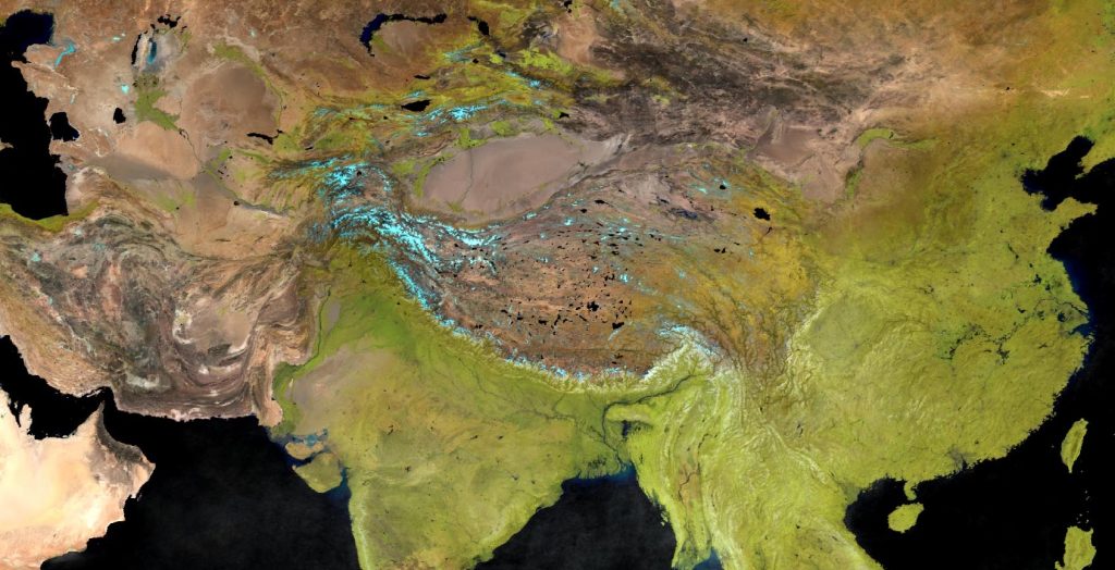
The term “Asian Water Tower” as a definition for the Asian high altitude areas and their water resources was introduced over a decade ago. Since then, research efforts have focused on assessing the present and future status of the Third Pole’s cryosphere and their role in the hydrological cycle of the Asian Water Tower. Most hydrological research has focused on the southern parts of the mountain ranges (i.e. the river basins encompassing the Hindu Kush, Karakoram and Himalayan mountain ranges, whereas the northern and western domains of the Third Pole form a research gap.
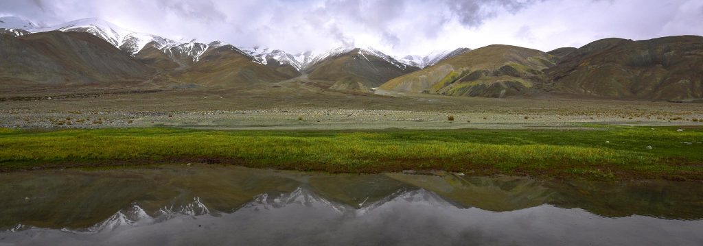
The Pan-Third Pole region plays a crucial role for millions of people as Asia’s water tower
Objectives
The objective of this project is to illuminate changes in the Water Tower of Asia and further our understanding of the impacts of climate change on the Silk Road Economic Belt (SREB). Research conducted in this project targets changes in climate, water supply and demand, which helps to provide suitable adaptation measures for green development of the river basins in the SREB domain.
We streamline the research activities in this project along four topics:
- Determine observed and projected Pan-TPE climate change
- Impacts on the present and future Water Tower of Asia
- The Green Silk Road and changes in water demand
- Adaptation for green development
Approach
Given the strong role of large scale hydrology in this project, the spatial domain includes all major river basins present in the Third Pole, ranging from Amu Darya basin in the west to Yangtze basin in the east.
In all river basins we will investigate past and future climate change by determining the optimal historical gridded climate products. To extend these series in the future, we will use bottom-up elasticity approaches as well as a selected representative ensemble of General Circulation Models (GCMs) from CMIP5 or (when made available) CMIP6.
We will set up a tailored and high-resolution version of the Spatial Processes in Hydrology (SPHY) model in combination with the selected climate datasets to simulate cryospheric-hydrological processes at river basin scale. This will allow us to to conduct a comprehensive assessment of the present and future hydrology in the river basins traversed by the SREB transect and the importance of the upstream water resources. Furthermore, we will study selected components of the water cycle such as glaciers, snow and permafrost in separate analyses and tailored model experiments to obtain a profound understanding of each component.
To ensure green and sustainable development of the SREB in the long run, adaptation measures may be required to cope with adverse effects resulting from future climate change and socio-economic change. We aim to develop new integrated methods to study the effects of hydrological changes on socio-economics and possible feedback systems. For the future simulations, Shared Socioeconomic Pathways (SSPs) marker scenarios will we be intelligently downscaled to include future socioeconomic changes that may lead to changes in water demand.
As part of the project an Assessment Report will be prepared based on the scientific findings in the project to provide a scientific evaluation of changes in water resources on social sustainable development